Choose a PHOTO SUBSCRIPTION and download FREE RIGHTS images.
Plans and prices of the image bank.
Royalty free illustration
715714614
- Id: 715714614
- Media type: Vector
- Author: Furian
- Keywords:
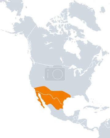
vector illustration isolated people border culture usa north northern ecological dry country map cartography geography history continent land overview drought climate state america region mexico arid resistant atlas peoples americas nation mapping southwestern pre Columbian drought resistant ecoregion infographic North America United States The Americas Southwestern United States political map chichimeca ecological region northern mexico phaseolus acutifolius tepary bean aridoamerica arid american arid america
Categories
| Size | Width | Height | Mp |
|---|---|---|---|
| s | 398 px | 500 px | 0.5 |
| m | 797 px | 1000 px | 2 |
| l | 1593 px | 2000 px | 8 |
| xl | 6000 px | 7531 px | 15 |
| vect | 6000 px | 7531 px | - |
You are not logged in!
Please login to download this image.
