Choose a PHOTO SUBSCRIPTION and download FREE RIGHTS images.
Plans and prices of the image bank.
Login
Royalty Free Image
671875178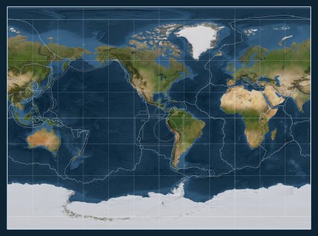
- Id: 671875178
- Media type: Photography
- Author: Yarr65
- Keywords:
vector shape risk hazard border contour earth planet world movement ocean science map geography land disaster boundary eruption volcano satellite friction quake earthquake atlas rift landslide volcanology graticule temblor tremor epicenter lithosphere earth crust fault line seismic activity volcanic eruptions seismic event earth surface volcanic activity tectonic plate Miller Cylindrical Projection land surface
Categories
| Size | Width | Height | Mp |
|---|---|---|---|
| s | 500 px | 371 px | 0.5 |
| m | 1000 px | 743 px | 2 |
| l | 2000 px | 1486 px | 8 |
| xl | 3877 px | 2880 px | 15 |
You are not logged in!
Please login to download this image.