Choose a PHOTO SUBSCRIPTION and download FREE RIGHTS images.
Plans and prices of the image bank.
Login
Royalty free illustration
653001102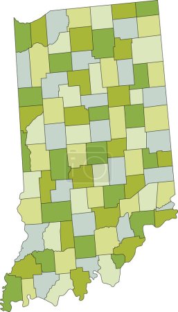
- Id: 653001102
- Media type: Vector
- Author: delpieroo
- Keywords:
green vector background colored illustration shape label travel road pastel city american usa ocean capital north olive shade outline country district map cartography geography continent land state topography political administrative interstate atlantic politics geographic region lime editable territory atlas Indiana county mapping rivers indianapolis evansville lake michigan United States of America fort wayne hoosier
Categories
| Size | Width | Height | Mp |
|---|---|---|---|
| s | 287 px | 500 px | 0.5 |
| m | 573 px | 1000 px | 2 |
| l | 1146 px | 2000 px | 8 |
| xl | 2415 px | 4213 px | 15 |
| vect | 2415 px | 4213 px | - |
You are not logged in!
Please login to download this image.